If you do not remember your username or password, the system can send them to you. Please provide the email address you registered with.
Error: Please check your email address and try again.

You're up for the challenge and ready for the ride of your life! The sense of accomplishment that you'll feel as you cross the finish line can only be matched by the difference you'll be making in the lives of people affected by MS.
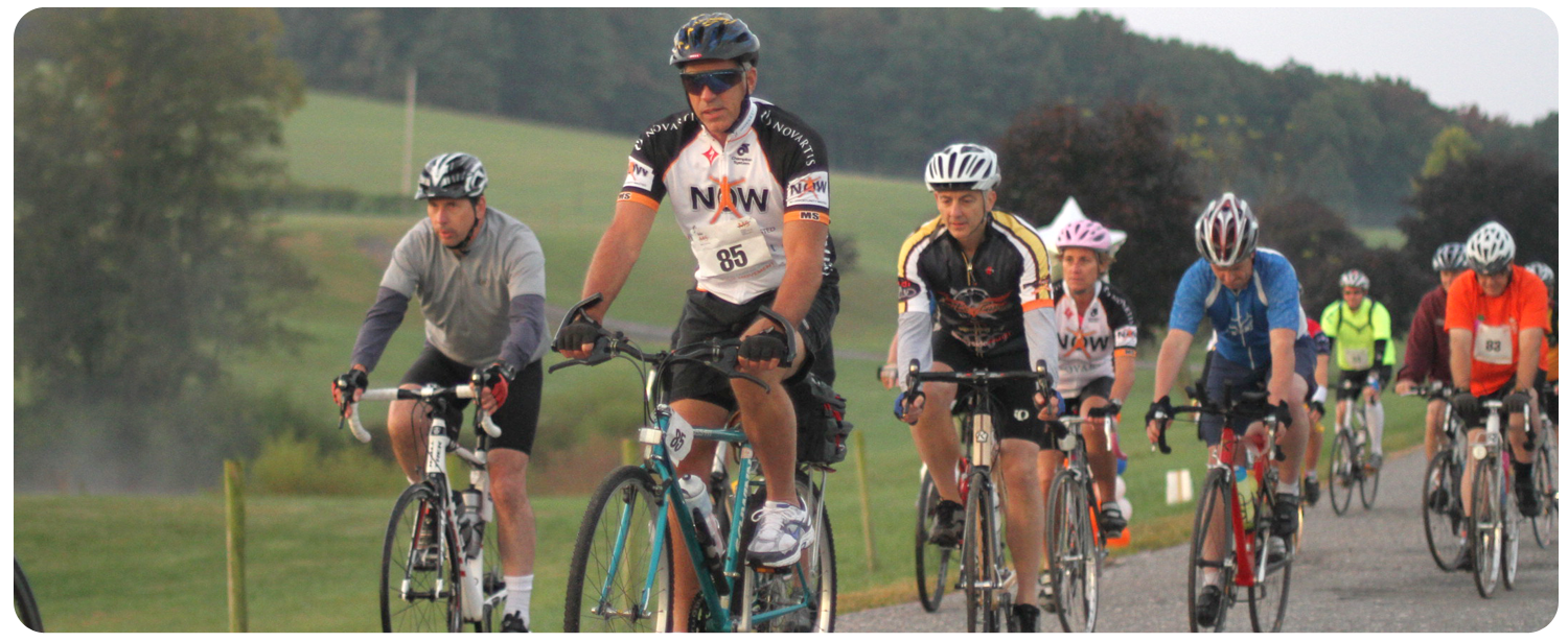
Pedal along some of the most beautiful scenery in Frederick and Carroll Counties while you enjoy a fully supported, fun and truly inspirational experience.
Route Information:
Bike MS: Bike to Bordeaux offers a variety of challenging and hilly route options. You'll pass through historic towns like 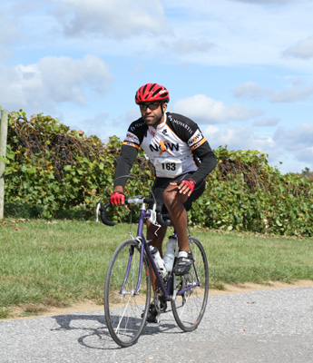 Libertytown, Utica, Loys Station, Union Bridge, Taylorsville and Mt. Airy. Participants will experience great route support, well-stocked rest stops and finish line festivities.
All routes start and finish at Linganore Winecellars.
Route options include a 16-mile route, 38-mile route and 65-mile route.
Registration opens at 7:00 a.m.
65 Mile Route opens at 7:30 a.m. Riders must be on the route by 8:00 a.m.
38 Mile Route opens at 8:30 a.m. Riders must be on the route by 9:00 a.m.
16 Mile Route opens at 9:30 a.m. Riders must be on the route by 10:00 a.m.
All routes close at 2:30 p.m.
Upon completion of the route, cyclists will enjoy finish line festivities including a wine sampling and massage therapists to celebrate a great day of cycling and raising awareness of MS.
Lunch will be from 11:00 a.m. - 3:00 p.m. Wine tasting will be from 11:00 a.m. to 3:00 p.m.
Massages are $18 for 15 minutes.
Please Note: Cue sheets and route maps will be provided to all participants upon check-in day of the event. These sheets are color coordinated to correspond to the colored route arrows cyclists will follow along the routes. Cue Sheet and Route Marker Colors: 65-Mile Route: Green • 38-Mile Route: Yellow • 16-Mile Route: Orange
Route Details:
16-Mile Route:
This is a 16-mile loop from the Linganore Winecellars out to Libertytown and back again. You will ride from the Winecellars out quiet Glissan's Mill Road for four miles before turning right on Green Valley Road and traveling another three miles to St. Peter's Church in Libertytown for a rest break. The return journey features a three and a half mile ride back down Green Valley road before turning left on Old Annapolis Road to take that and a couple of other roads back to the Winecellars. The ride features about 400 feet of total climbing and is fairly flat with a couple of minor climbs on Green Valley Road and one on Glissan's Mill on the way out.
38-Mile Route:
This is a 38-mile loop from the Linganore Winecellars out to Libertytown and then onwards to Union Bridge, Taylorsville and Mount Airy before returning to the Winecellars. The path begins Westward on Glissan's Mill Road and turns North via Green Valley Road as you travel to a rest stop at St. Peter's Church in Libertytown. From there you continue Northward along Green Valley Road passing by the old marble quarry on the way to Union Bridge and a rest stop at a lovely community center there. From Union Bridge, you follow South via Sam's Creek Road and Hooper Road (among others) on your way to a rest stop at the United Methodist Church in Taylorsville. As to head south down Hooper Road, you encounter one of the more serious climbs of the ride in the form of a fairly steady but relatively gentle up-grade over the course of two miles. From Taylorsville, you will continue South on Ridge Road and Main Street as you see a little of historic Mount Airy and stop for a rest at our sponsoring bike shop: Patapsco Bike and Sport. From there, you will head West and wend your way out Prospect Street, Old Annapolis Road and Woodville Road on your way back to the Winecellars. If you are a fan of fast riding you will relish the steep descent down Woodville before you have to climb a short rise to Glissan's Mill. This ride features 1150 feet of total climbing.
65 Mile Route:
This is a 65-mile loop from the Linganore Winecellars out to Libertytown via a slightly circuitous route and then further West through Walkersville to Utica, Loy's Station, Union Bridge, Taylorsville and Mount Airy before returning to the Winecellars. The path begins Westward on Glissan's Mill Road but quickly detours onto Old Annapolis Road, crossing Green Valley Road and wending your way along sleepy roads before approaching a rest stop at St. Peter's Church in Libertytown from the West. From there you continue further West out Daysville Road and Devilbiss Bridge Road passing through Walkersville on your way to a rest stop at lovely Utica Park. From there, you follow old Frederick Road Northward toward Loy's Station Park and your next rest stop. On the way out Old Frederick Road, you encounter one of the more pleasant downhill runs I know of as the road is straight as can be and usually quite deserted and features a steep descent followed by a moderate climb. When you arrive at Loy's Station Park I welcome you to enjoy the view of the historic covered bridge just beyond the rest stop. From Loy's Station Park, you wind your way through quiet roads heading East toward Union Bridge and a rest stop at a lovely community center there. From Union Bridge, you follow South via Sam's Creek Road and Hooper Road (among others) on your way to a rest stop at the United Methodist Church in Taylorsville. As to head south down Hooper Road, you encounter one of the more serious climbs of the ride in the form of a fairly steady but relatively gentle up-grade over the course of two miles. From Taylorsville, you will continue South on Ridge Road and Main Street as you see a little of historic Mount Airy and stop for a rest at our sponsoring bike shop: Patapsco Bike and Sport. From there, you will head West and wend your way out Prospect Street, Old Annapolis Road and Woodville Road on your way back to the Winecellars. If you are a fan of fast riding you will relish the steep descent down Woodville before you have to climb a short rise to Glissan's Mill. This ride features 1700 feet of total climbing.
Please Note: Maps and Cue sheets will be available at registration/check-in on Saturday, September 28.


Join Us
Facebook Twitter LinkedIn YouTube Pinterest MS Connection